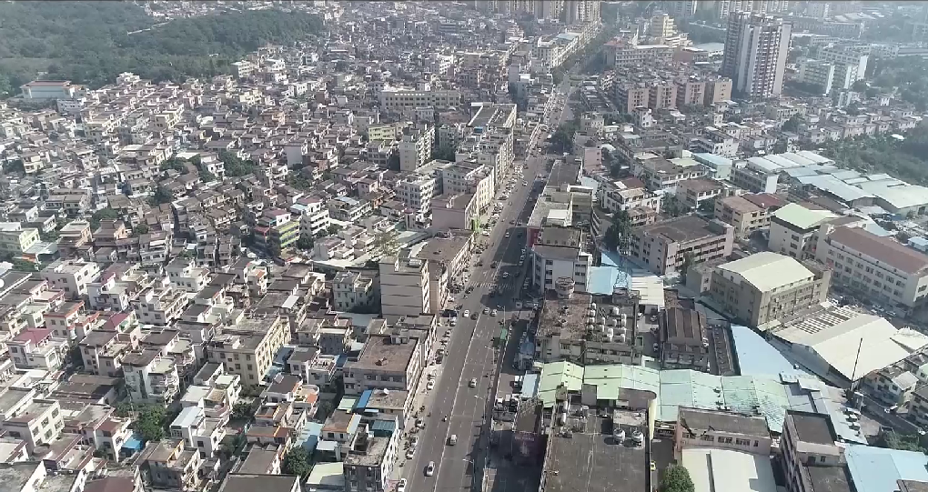
Can Obtain
· Acquire spatial information of city streets, buildings, etc.
· Provide precise 3D data for traffic planning.
· Provide precise 3D data for the renovation of old communities.
· Supply spatial data for various urban GIS platforms.
· Offer diverse data formats for data sharing and archiving.
Can Obtain
· Acquire 3D spatial information and point cloud data of historical buildings.
· Reverse-engineer 3D models and 2D drawings of historical buildings.
· Provide precise data support for future maintenance, renovation, and restoration.
· Facilitate data sharing for improved communication and reporting.
· Digitize all data to prevent loss.

Can Obtain
· Digital Terrain Model
· Accurate Calculation of Earthwork Volume, Contour Lines, and Cross-Section Drawing
· Drones combined with 3S (i.e GIS, GPS, RS) enable precise positioning and automated data collection.
· Facilitate data sharing for improved communication and reporting
· Digitize all data to prevent loss

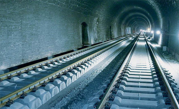
Can Obtain:
· The acquisition of spatial information for subway tunnels.
· Provides a 3D spatial model of the subway tunnel.
· Offers completion surveys and data reports for the subway tunnel.
· Assists operators with operation and maintenance.
· Offers model data in different formats.
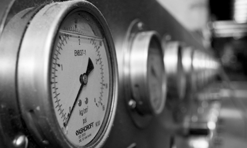
Can Obtains:
· Reverse engineering of petrochemical pipelines to complete factory digitization.
· Providing original 3D data for the design, modification, and maintenance.
· Conducting simulated collision detection and analysis reports for pipeline facilities.
· Creating digital factory data prototypes and conducting virtual safety drills.
Official Account

TEL:0592-5503565